| |
|
|
| |
West
2020
|
|
| |
Day
03
July
15
|
|
| |
|
|
| |
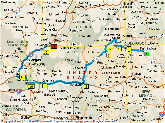
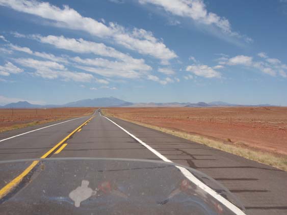
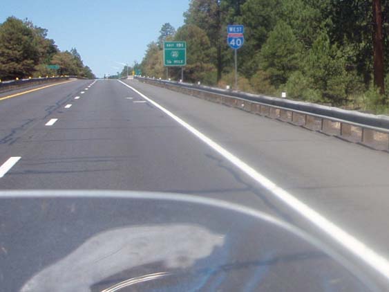
I am out early from
Bloomfield as this will be one of the longest days of the ride. Hopefully
by the end of it I will have 'collected' four more state line signs. I also
want to be at the Four Corners Monument way ahead of the crowd so I might
get a picture of BlueBelle at the memorial. |
|
| |
 |
|
| |
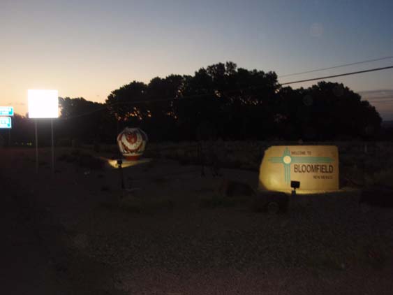
My first stop will
be Shiprock
and as I head that way the sun rise gives it a glorious golden hue. |
|
| |
 |
|
| |
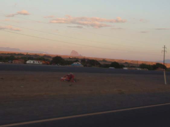
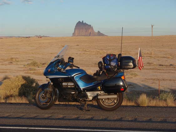
After studying the
maps and available data, I know I need to take a left on Highway 491 in
the town of Shiprock to get a good clear shot of it. There is no traffic
to speak of so I get there pretty quick and get my 'calendar' shot. |
|
| |
 |
|
| |
My original plans
are to stop at the Sonic in Shiprock proper for breakfast, but it is closed
up tight. So breakfast will have to wait as I make my way toward Four Corners.
|
|
| |
 |
|
| |
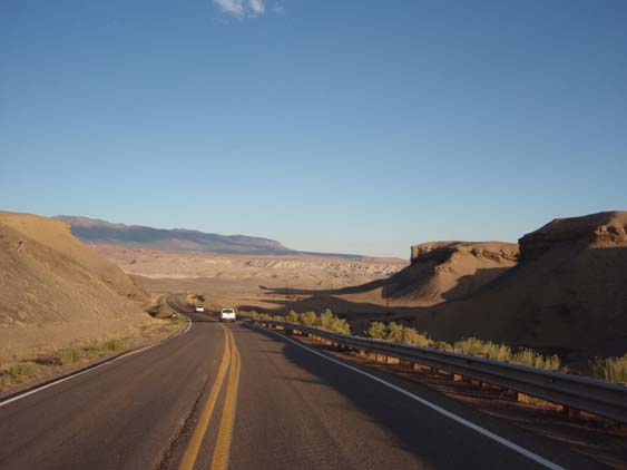
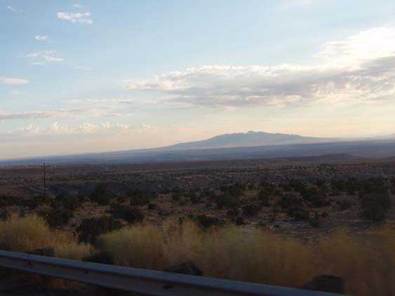
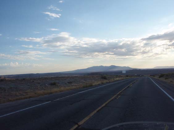
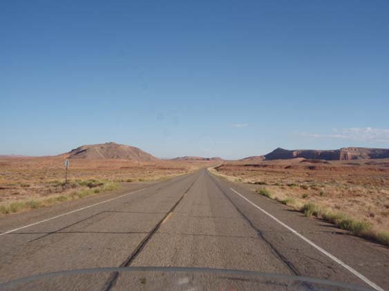
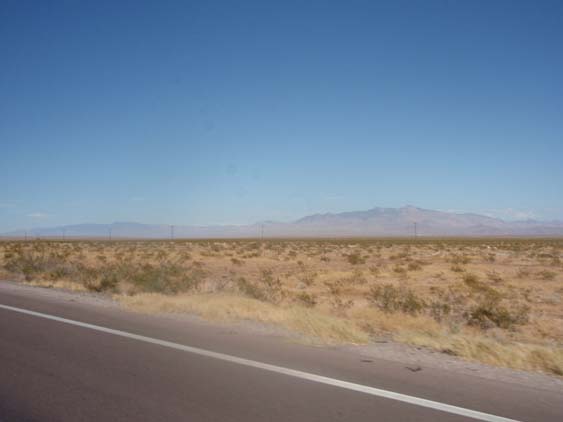
It's
a pretty barren area with the occasional mountain rising above the plains
in stark contrast to the scrub bushes and weeds. |
|
| |
 |
|
| |
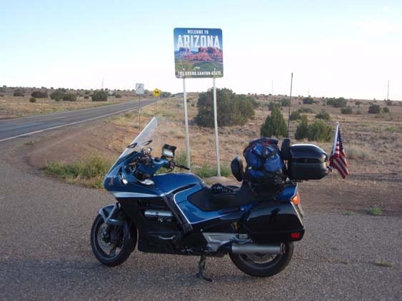
Along
the way I come upon a pleasant surprise - a good Arizona sign with a great
place to pull off. I missed this one in my planning, but it will work just
fine. |
|
| |
 |
|
| |
It's
a quick turn north off Highway 64 into Highway 160 that will take me to
the monument. |
|
| |
 |
|
| |
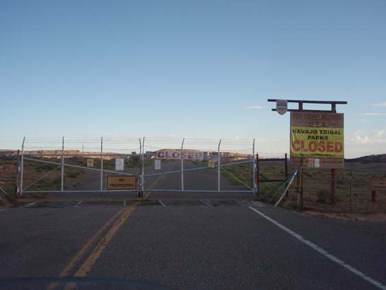
Unfortunately,
there will be no pictures at Four Corners today. To my great disappointment,
the Navajo Tribe has closed all of their parks due to the Covid mess. So
I guess I can say I've just been 'covided'. Nothing to see here, so I move
on along toward Monument Valley. |
|
| |
 |
|
| |
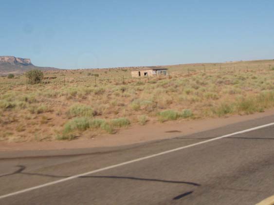
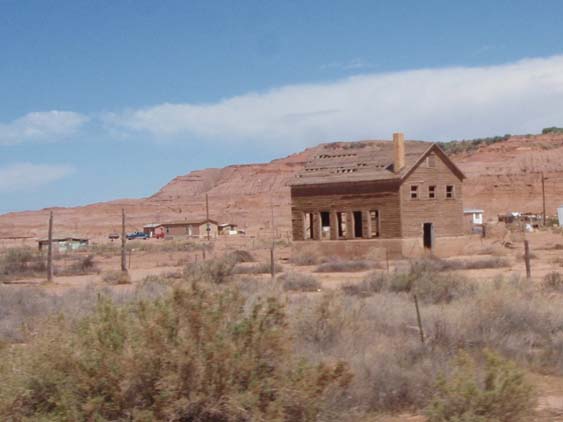
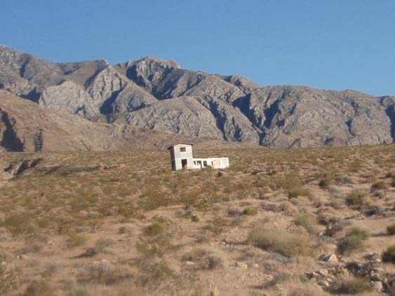
Once
again as I pass an abandoned homestead, I have to wonder why. It was built
sturdy to last and it appears that it outlasted its occupants. But it will
eventually return to dust just like those who once occupied it. |
|
| |
 |
|
| |
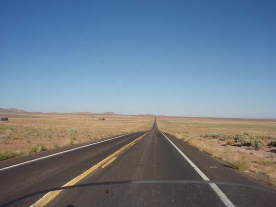
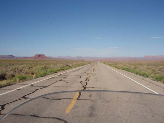
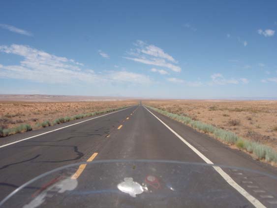
It's
a long, lonesome road out here, but I really don't mind the solitude. It
gives a feller some time to noodle through stuff in the splendid isolation. |
|
| |
 |
|
| |
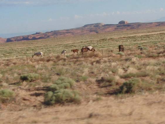
As I
make my way along Highway 191, I see a group of what appears to me to be
wild mustangs. There is no house or anything around here that I can see
and I don't think a rancher would let his horses wander this far off to
have to come and fetch them for later use. |
|
| |
 |
|
| |
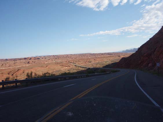
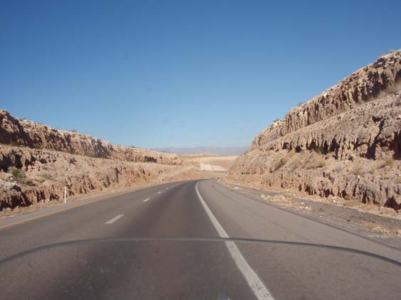
There
are a few curves on this section, but nothing to write home about. But I
still enjoy the scenery as you don't see this kind of stuff back home. |
|
| |
 |
|
| |
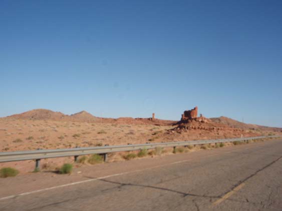
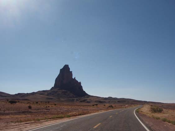
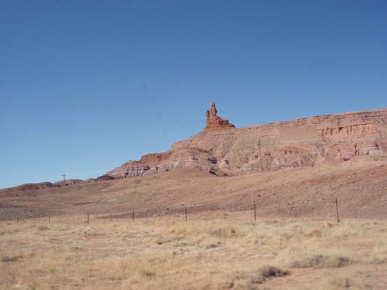
There
always seems to be some unusual rock formations that your imagination can
transform into various objects. This looks like the ruins of a castle tower
that I saw on one of my
trips to Scotland with an opposing castle tower in the background. |
|
| |
 |
|
| |
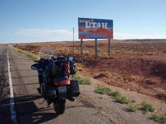
I get
my first Utah state line sign but I have hopes that the one in the heart
of Monument Valley is still there. But I have leaned through the process
to get them when you can for you never know about the next one. |
|
| |
 |
|
| |
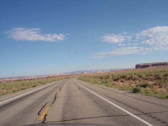
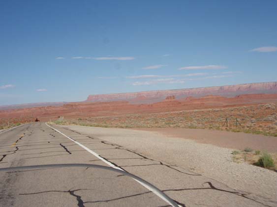
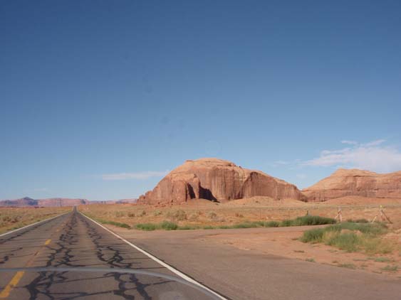
The
rock formations are almost like an interruptions in the otherwise flat and
dusty landscape. |
|
| |
 |
|
| |
Then
it's up a little elevation and few more sweepers which will carry me to
where I am headed. |
|
| |
 |
|
| |
Then it's back down
to where the land is as flat as flat can be and you begin to see the type
of terrain that characterizes Monument Valley. |
|
| |
 |
|
| |
The red hues are
not done justice by the pictures especially if you are around this area
about good sun down. |
|
| |
 |
|
| |
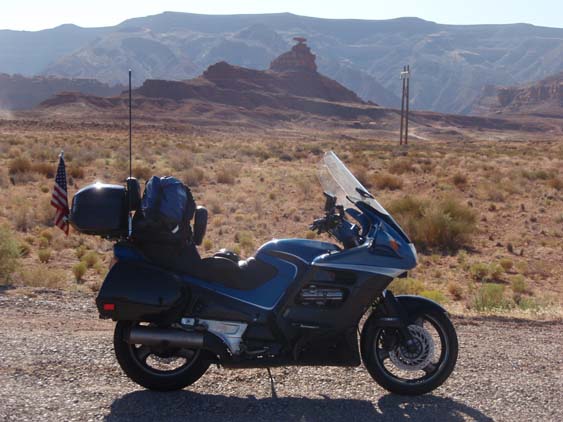
I make my stop near
the Mexican
Hat formation but decide that I will not navigate the gravel road
to get a closer picture. I did that once when Dave,
Andy and I were in this part of the country. |
|
| |
 |
|
| |
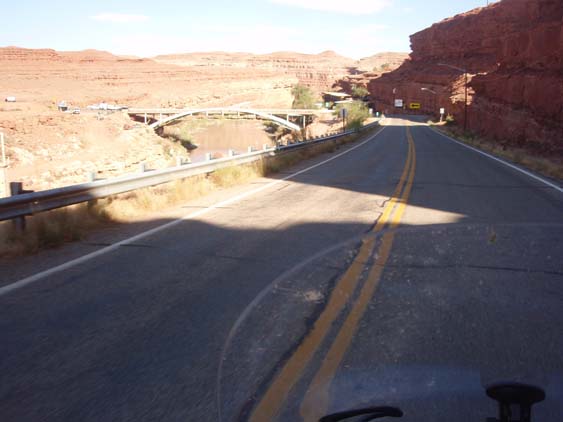
Soon
I'm through the village of Mexican Hat and crossing the bridge where a little
restaurant is tucked away. I ate there many years ago on one of my trips
through here. |
|
| |
 |
|
| |
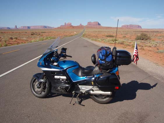
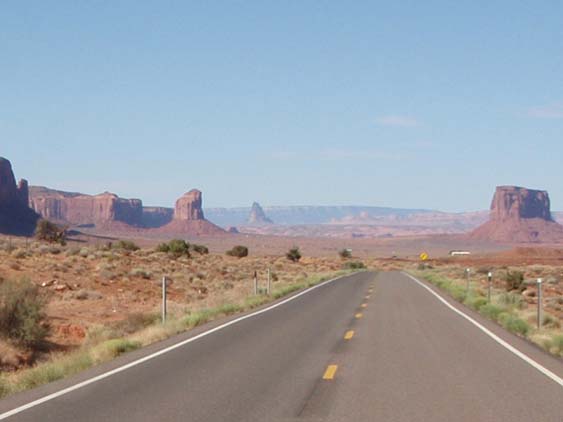
Soon
I am far enough down Highway 163 to be in the heart of Monument
Valley. It was used repeatedly in the older Western films and is
usually identified with what the American West was like. It's also featured
in the Forrest Gump movie where he stops running and says “I'm pretty
tired… I think I'll go home now.” |
|
| |
 |
|
| |
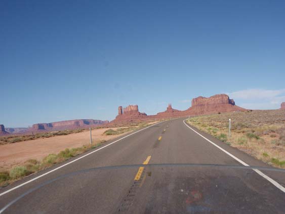
The rising spires
could easily be imagined to be cathedral steeples of a bygone day or castle
ramparts standing defiantly against all enemies. It is sacred land - Tsé
Bii' Ndzisgaii - to the Navajos and thus holds a special place in their
tribal memory. |
|
| |
 |
|
| |
I stop and get another
'calendar' shot of BlueBelle at West Mitten Butte, East Mitten Butte, and
Merrick Butte. |
|
| |
 |
|
| |
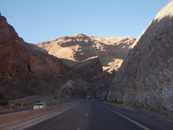
As I head further
south, this reminds me of going between two very large gate posts carved
from stone. |
|
| |
 |
|
| |
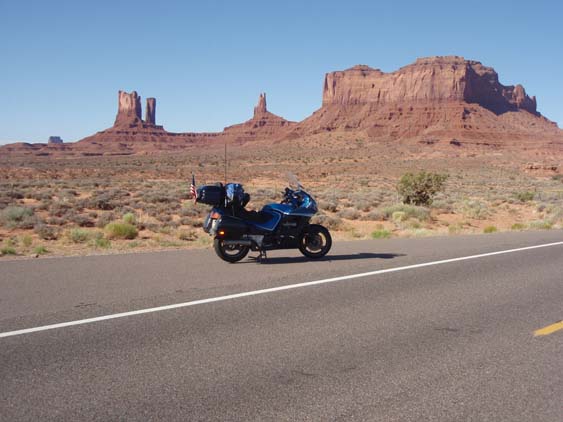
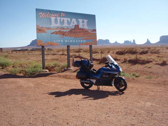
Thankfully, the
desired Utah state line sign is still standing so I can get a picture of
it with the monuments in the background. |
|
| |
 |
|
| |
Heading on down
Highway 163 to Highway 160, there are still plenty of rock monoliths to
enjoy ... |
|
| |
 |
|
| |
and contemplate
what they remind me of. |
|
| |
 |
|
| |
This one resembles
as wise old owl peering at me as I pass by. |
|
| |
 |
|
| |
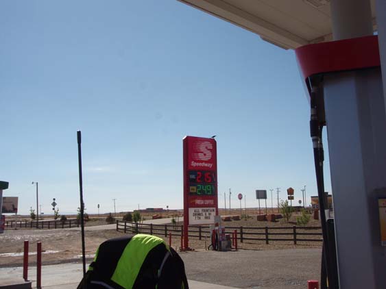
Knowing gas can
be sparse out here and breakfast has certainly been that way, I stop in
Kayenta at a Speedy's to refuel both the beasts. |
|
| |
 |
|
| |
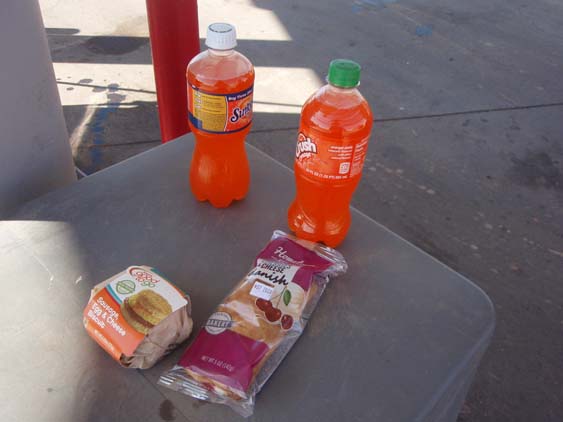
Breakfast is a sausage
sandwich and a Danish but it ain't too bad for convenience store food. |
|
| |
 |
|
| |
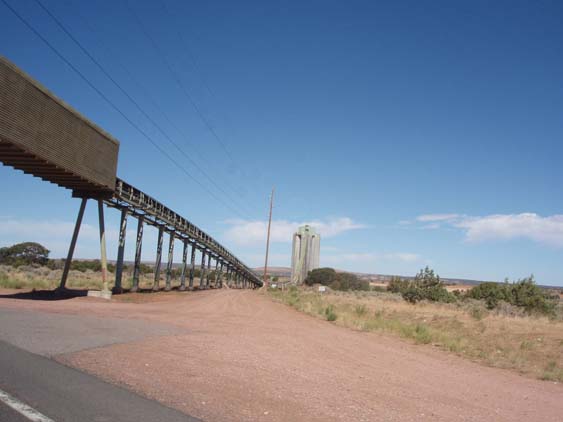
With the necessary
levels of fuel achieved for man and mechanical beast, I get back to the
business at hand. I pass this unusual site and still don't know quite what
is its purpose. The chute extends a long way behind me but I cannot figure
out exactly what it transports for such a distance. |
|
| |
 |
|
| |
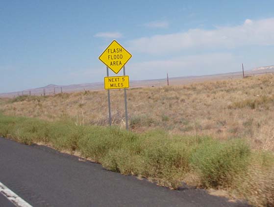
Out here you often
see signs that make you go 'Hmmmm?'. Right now I am so dry I can't work
up a good spit, there is no water anywhere that I can see for miles and
miles, and yet this is a flash flood area? I guess I'll just have to take
their word for it and assume it must come down from the mountains. |
|
| |
 |
|
| |
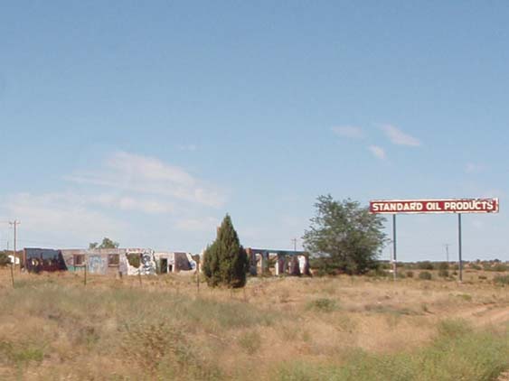
In fact it is so
dry, that this old Standard Oil Service Station has about dried up and blown
away. |
|
| |
 |
|
| |
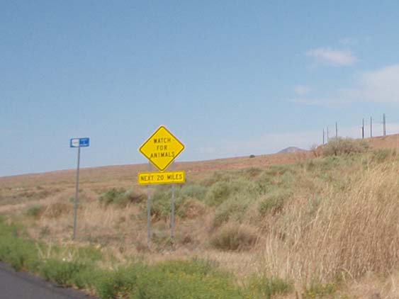
Then I see another
interesting sign but I don't believe the animals are buying into any of
it. |
|
| |
 |
|
| |
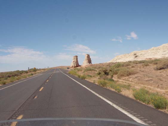
This formation looks
like it needs a big gate to swing between the two posts or a cross bar on
top that you could hang a swing from. |
|
| |
 |
|
| |
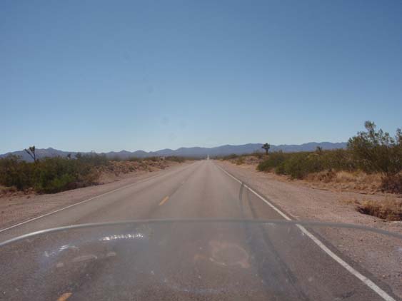
Too soon it's back
to the straight and narrow - and the hot and dry and dusty. |
|
| |
 |
|
| |
I wonder if this
was an old school house that has been left to eventually fall down - much
like modern education has left moral absolutes behind with similar results
in the lives of their students. |
|
| |
 |
|
| |
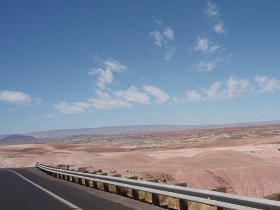
As I continue to
move through Arizona, the colors and the terrain change from red and rough
... |
|
| |
 |
|
| |
to tan and smooth
... |
|
| |
 |
|
|
to brown and flat
... |
|
|
 |
|
|
and sometimes to
green and blue when there is some serious irrigation. The abrupt line between
what is watered and what is not is pretty interesting to me. |
|
|
 |
|
|
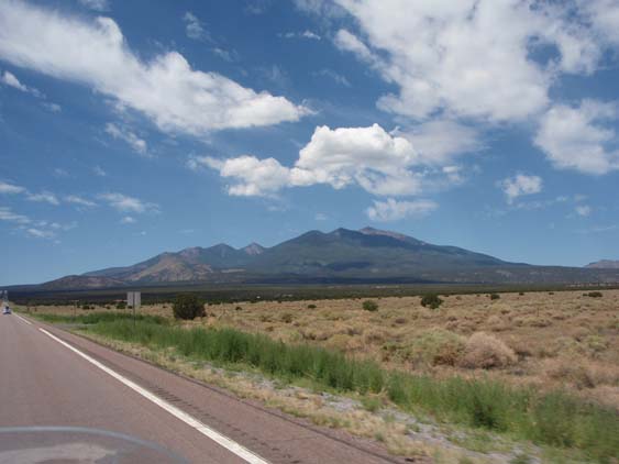
The heat and the
drying is taking a toll on me, so I find a convenient place to take a break
on the outskirts of Flagstaff. |
|
|
 |
|
|
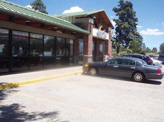
Fortunately for
me, there is an unoccupied parking place right under a shade tree which
I avail myself of in short order. |
|
|
 |
|
|
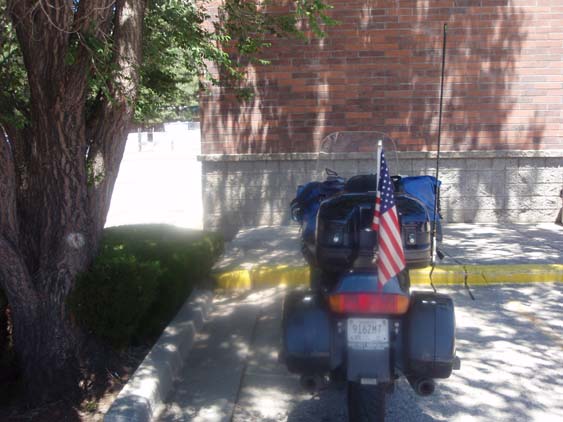
After tending to
what needs to be tending to, it's time now to jump back onto my old friend
I40 for a while. |
|
|
 |
|
|
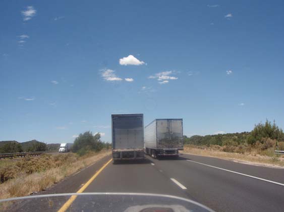
And shortly I get
to observe another one of those splendid, slow motion elephant parades. |
|
|
 |
|
|
I40 will take me
close to where I can capture my next state line sign. |
|
|
 |
|
|
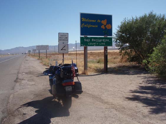
I cut across through
Laughlin to get the California one on Highway 95. I don't particularly like
it but I get it just in case. |
|
|
 |
|
|
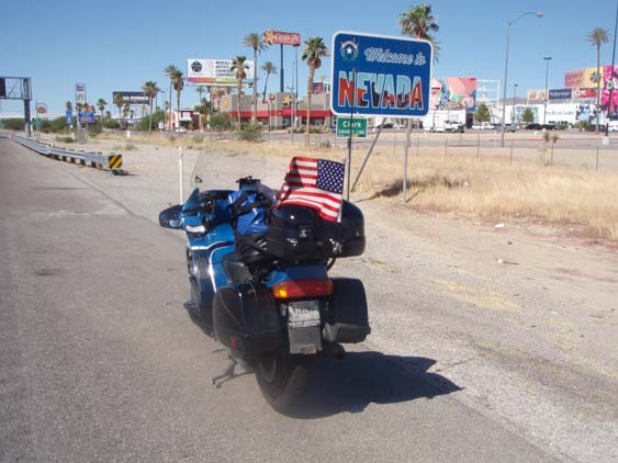
And since this is
a 'twofer', I get the Nevada sign also. |
|
|
 |
|
|
Then it's up Highway
95, hang a left at Searchlight then on through Nipton to I15. |
|
|
 |
|
|
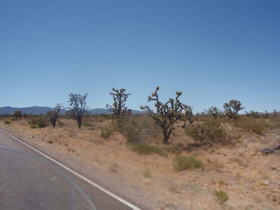
There are some interesting
'trees' along the side of the road and ... |
|
|
 |
|
|
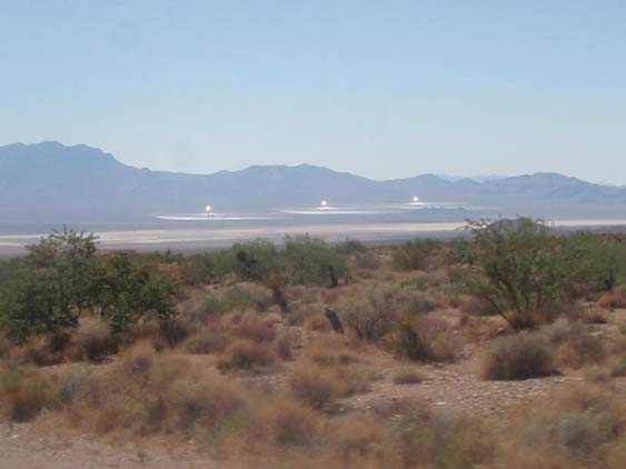
a scene that reminds
me of an old movie named Atlantis. At the end of the movie, the 'beam' machine
destroys the place. I have to wonder just how hot those reflective solar
panels get out here. |
|
|
 |
|
|
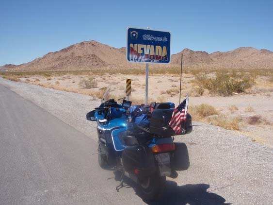
Pretty soon I snag
what I think is a more 'appropriate' Nevada sign and do a little U-turn
... |
|
|
 |
|
|
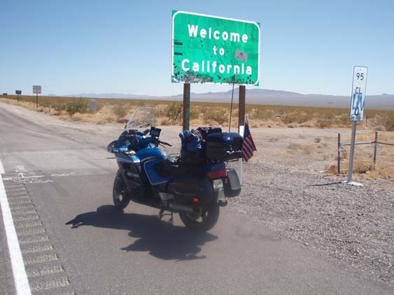
to get a California
sign more to my liking. I have to be a bit of a scofflaw and cut across
the interstate to get back to the direction that I need be headed but it
works out okay. |
|
|
 |
|
|
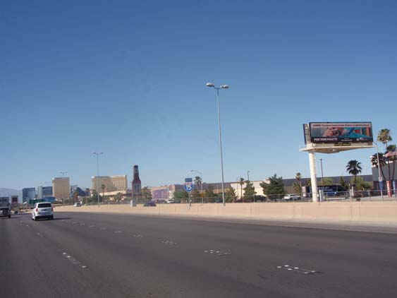
Soon I am passing
through the city of 'Lost Wages', also known as Las Vegas where there are
slot machines even in most bathrooms. |
|
|
 |
|
|
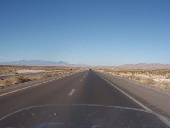
Not soon enough
for me, I am back out to nothing where never a neon sign or gaudy advertisement
disturbs. |
|
|
 |
|
|
Off in the distance,
I can see the heat rising up like a fog - an unpleasant, hot and dry fog. |
|
|
 |
|
|
This unusual looking
cut through catches my eye as it looks almost like frosting on a multi-layered
cake. |
|
|
 |
|
|
Once again I see
another abandoned dwelling place. I have to wonder why someone would build
anything in this dry and isolated area. Maybe they asked themselves that
question and the answer made them move on. |
|
|
 |
|
|
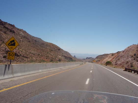
Soon I15 takes me down into
the Virgin River Gorge. From what I found -
Interstate 15 runs through
the canyon and crosses the Virgin River several times. The Virgin River
Gorge section of Interstate 15 is one of the most expensive parts of interstate
highway ever constructed. Due to the winding of the canyon, the highway
within is also noted for its tricky driving conditions.
It does have some nice twisties
that I enjoy negotiating after all the straight and narrow stuff.
|
|
|
 |
|
|
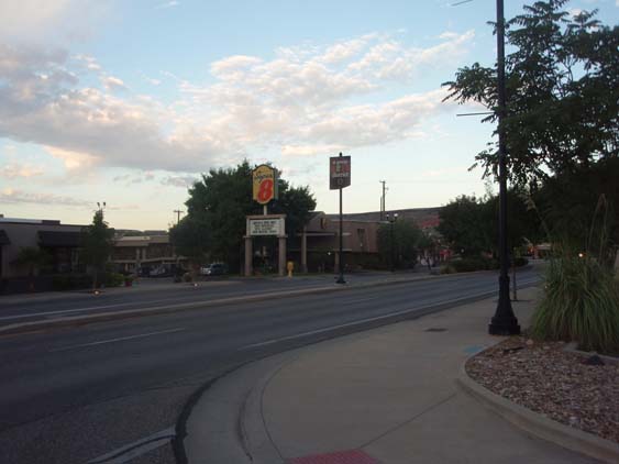
It has been an incredible
long day of over 800 miles and I don't get to the motel until past 8 PM. |
|
|
 |
|
|
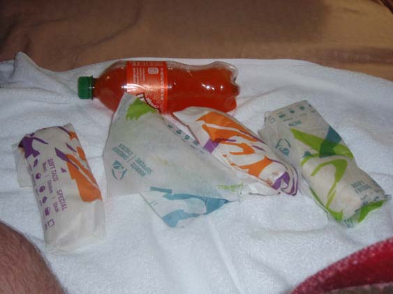
About the only drive
through that is open is Taco Bell so I dine with the Bell this evening. |
|
|
 |
|
|
Outside of not being
able to visit Four Corners, I have been able to do all the things and see
all the sights that I had planned on and captured the state lines that I
intended to get. But I am very weary from the efforts and collapse in a
comatose heap once I get my picture saving done. |
|
|
|
|
|
|
|
| |
|
|
| |
|
|
| |
|
|
| |
|
|
| |
|
|
| |
|
|